
Apps
Photography
GPS Map Camera
GPS Map Camera
| Package ID: | |
|---|---|
| Latest Version: | v1.5.6 |
| Latest update: | May 28, 2026 10:11:03 |
| Developer: | GPS Map Camera |
| Requirements: | Android |
| Category: | Photography |
| Size: | 24.20 MB |
| Tags: | Photo Camera Date |
Rating :4.0
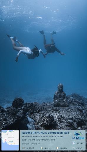
GPS Map Camera is a navigation and photo documentation app that combines live mapping, sensor readouts and camera stamping so you always know where and when a picture was taken. The interface shows your current position on an interactive map while letting you capture geo-tagged photos that include date, time and local weather details; these stamped images and recorded routes make it easier to sort, share and recall memories from trips or field work.
Key features
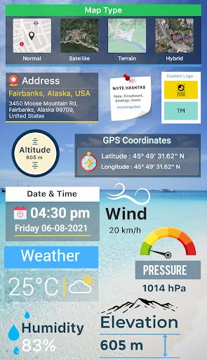
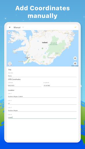
The live map view updates in real time as you move and supports standard map gestures: pinch to zoom, two-finger rotate, and drag to pan. You can toggle between map styles such as standard, satellite or terrain and enable layers that show your recorded route, waypoints and recent photo locations. A dedicated camera control sits over the map so you can frame a shot without switching screens.
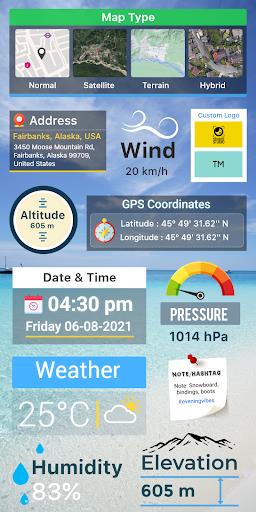
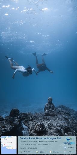
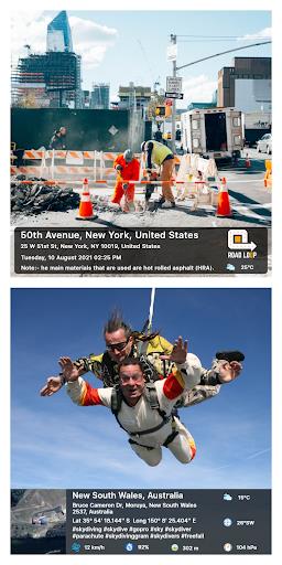
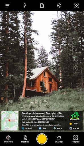
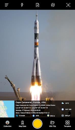
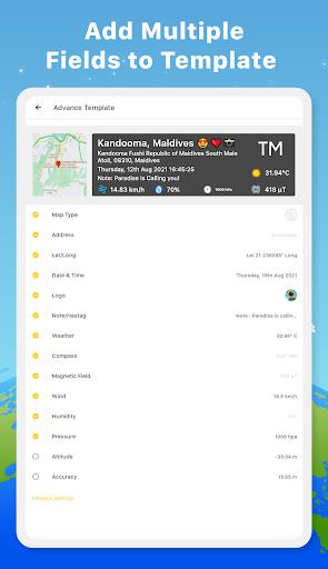
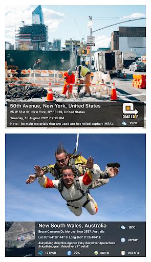
GPS Map Camera stamps each photo automatically with customizable overlays including date, time, coordinates and concise weather data. The weather stamp pulls local conditions like temperature and precipitation state at the moment of capture, and you can choose what appears on the image to keep stamps unobtrusive or detailed depending on your needs. Stamping also records altitude, compass heading and a simple geomagnetic reading when available from your device sensors.
Route recording and timeline playback let you reconstruct journeys: start a trip recording with a single tap, pause or stop as needed, and review a linear timeline showing photos, distances, duration and visited locations. Trip segments can be named and annotated so a long hike, multi-stop work route or day of sightseeing is organized into meaningful stages for later review or sharing.
Controls and customization
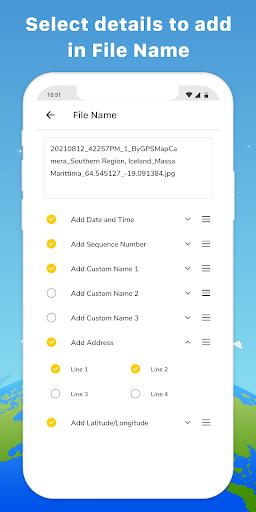
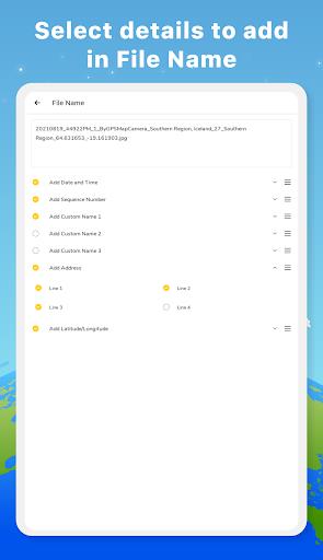
Controls are kept familiar and accessible. The on-screen shutter, record and pause buttons respond to short or long presses for different actions, and gesture shortcuts make it simple to toggle recording or center the map on your position. Stamp templates can be edited to change font size, color, units (metric or imperial) and which data fields are included, enabling a clear look for documentation or a compact layout for social sharing.
Progression and organization
Instead of game-style progression, the app organizes your activity into a clear progression of trips, segments and photo events. As you record more outings you build a personal timeline that helps you track improvements in route time, compare conditions between visits and mark important milestones. Tags and folders allow progressive organization, so repeated trips to the same location become easy to find and analyze.
Visual style and map layers
The visual presentation favors clarity over flourish: clean map tiles, high-contrast stamp text and straightforward icons make information readable in outdoor lighting. Map layers let you switch between context views, including satellite imagery for terrain recognition and a simplified performance overlay for recorded speed and elevation changes over the course of a trip.
Replay value and sharing
Replay value comes from the ability to revisit detailed trip histories, play back timelines that step through your journey and compare multiple trips side by side in the history view. Photos and route summaries can be shared directly from the app to messaging or cloud storage, exported as images with burned-in stamps or sent as compact trip summaries for colleagues or friends.
Accessibility, offline use and limitations
Accessibility options include adjustable font sizes, high-contrast stamp presets and compatibility with Android TalkBack for spoken feedback. Offline map tiles and locally cached weather snapshots allow the app to function when connectivity is limited, though live weather and map refreshes require a network connection. Be aware that GPS accuracy and the quality of sensor readings depend on device hardware and environmental factors; in deep valleys, dense forest or urban canyons position fixes can be less precise.
Typical use cases
People who use GPS Map Camera often include hikers documenting routes and conditions, travelers building timestamped photo journals, field technicians recording site visits for reporting, and cyclists or drivers who want a visual log of their routes. The app is designed to be a practical tool for anyone who needs reliable location context attached to images, combined with simple controls and customizable output for organized record-keeping.