
GuiAR

| Package ID: | |
|---|---|
| Latest Version: | v3.0.0 |
| Latest update: | Aug 06, 2026 10:17:04 |
| Developer: | DANE - INFORMACIÓN PARA TODOS |
| Requirements: | Android |
| Category: | Tools |
| Size: | 30.00 MB |
| Tags: | Navigation Camera Read |
Rating :4.4
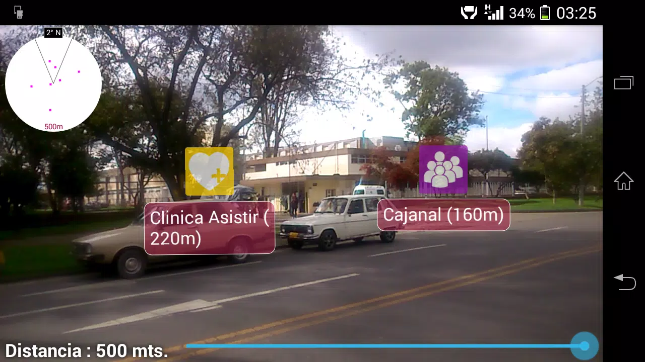
GuiAR is a mobile app that blends augmented reality and GIS to help users locate and navigate neighborhoods across Colombia, offering an intuitive, offline-capable interface for professionals and the public alike. GuiAR overlays digital markers onto the real world and can read GeoQR codes based on the National Geostatistical Framework, enabling precise location identification even without a data connection. Users may choose GuiAR to speed up fieldwork, simplify surveying tasks, or explore an area with richer visual cues than a traditional map, all while relying on a tool designed for real-world geolocation challenges.
Key Features
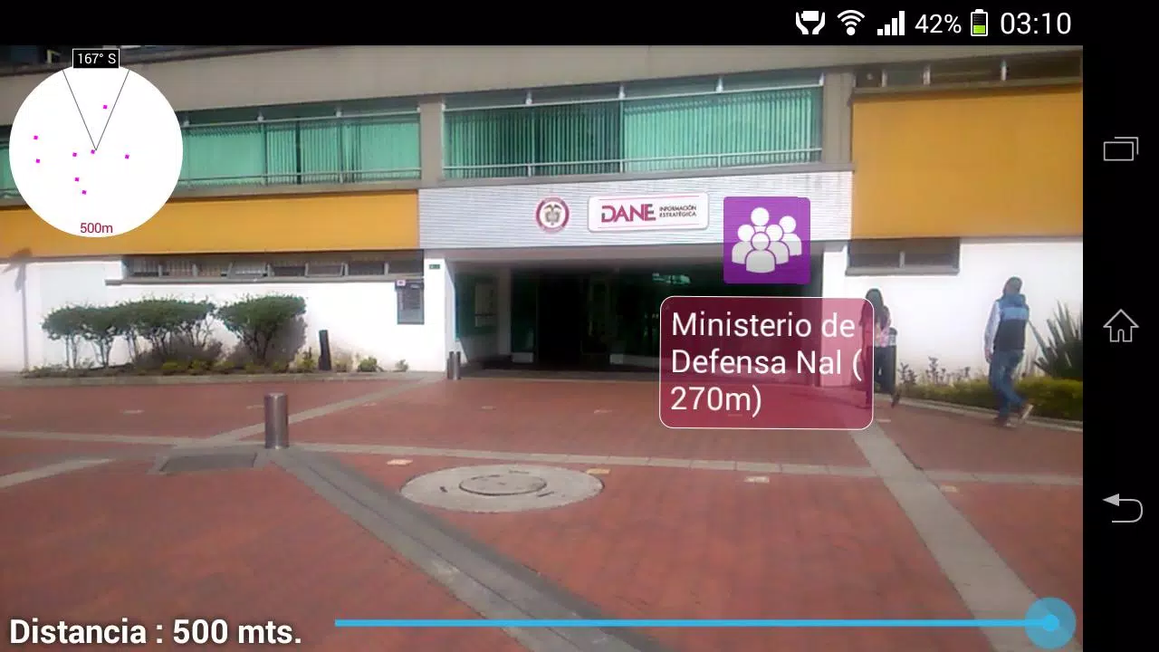
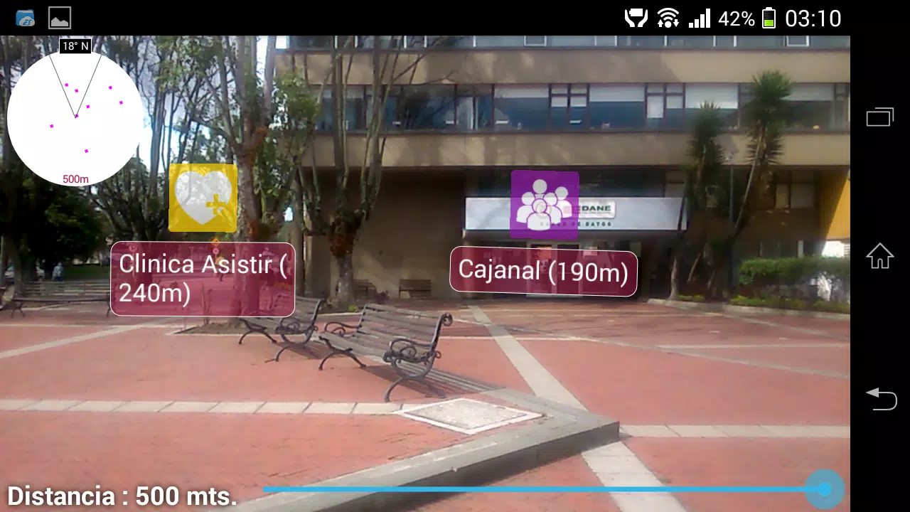
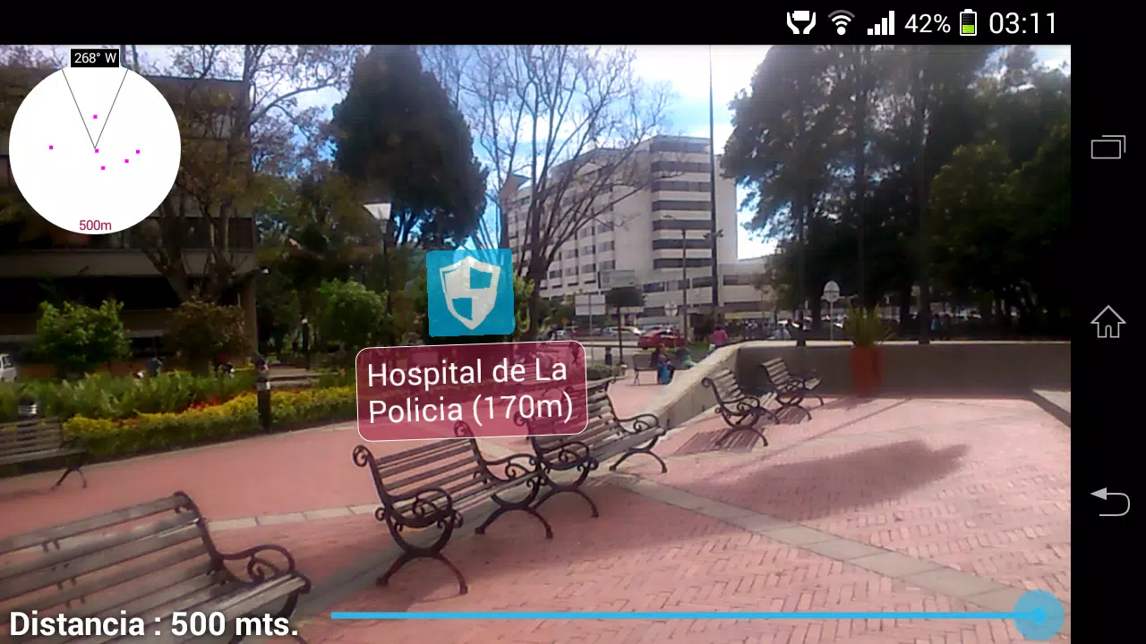
⭐ Augmented reality overlays that display digital markers on live camera view for easier spatial recognition.
⭐ Offline mapping and local data storage so core functions work without a constant internet connection.
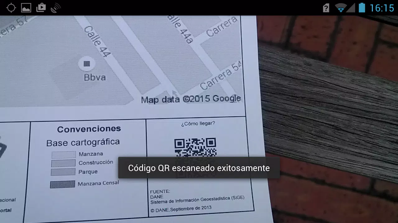
⭐ GeoQR code scanning to pinpoint locations using codes generated from the National Geostatistical Framework.
⭐ Integration of GIS data with AR visuals to support precise field operations and neighborhood identification.
⭐ Mobile-friendly interface tailored for surveyors and general users performing on-site location tasks.
Advantages
✅ Improves accuracy and speed of field data collection for survey teams and supervisors.
✅ Makes neighborhood navigation more intuitive by combining maps with AR visual cues.
✅ Provides essential functionality without requiring a data plan, useful in remote areas.
✅ Bridges institutional surveying workflows and everyday use through a single accessible tool.
Disadvantages
❎ Precision depends on availability of GeoQR codes from the National Geostatistical Framework for best results.
❎ Advanced AR features may require a device with compatible hardware and sensors.
❎ Designed primarily for Colombian geographic datasets, so applicability outside that context may be limited.
Development Team
GuiAR was developed to address geolocation challenges identified by survey teams at the Departamento Administrativo Nacional de Estadística (DANE), combining institutional GIS standards with mobile AR and data storage techniques to support field operations and public use.